3D Scanning for Civil Engineering & Infrastructure Maintenance Overview
Civil engineering and infrastructure are complex and costly. Maintenance of structures like highways and bridges requires addressing operational complexity, material scale, and safety.
3D scanning provides accurate site information to tackle these challenges.
This blog explores how 3D scanning aids these projects, its benefits, and the technology involved.
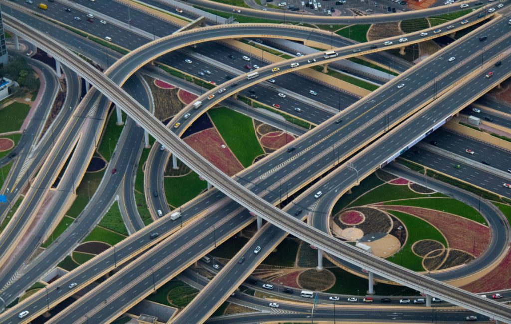
Uses of 3D Scanning in Civil Engineering and Infrastructure
3D scanning in civil engineering involves assessing large infrastructure. Common applications include:
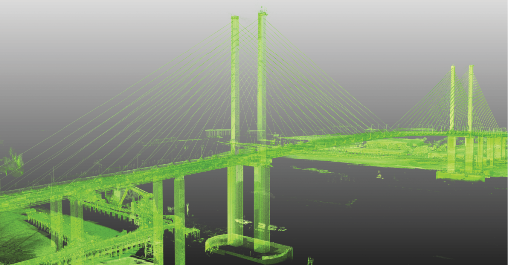
- As-built modeling: Captures accurate models of structures for inspections and repairs.
- Reverse engineering: Recreates accurate 3D models of structures with lost or incomplete documentation.
- Mobile inspection: Evaluates extensive roadways or rail lines for safety concerns.
- Monitoring: Tracks progress during large-scale projects.
Advantages of 3D Scanning
3D scanning is preferred for on-site data capture due to:
- Access: Captures data from hard-to-reach structures.
- Safety: Reduces exposure to dangerous areas.
- Speed: Faster than manual measurements, improving efficiency.
- Accuracy: Provides highly accurate data, minimizing human error.
Opportunities for Scanning in Civil Engineering & Infrastructure
3D scanning offers significant potential and is already used in bridge maintenance, industrial facility inspections, and general infrastructure data capture.
Contact Cimquest today to learn more!


Leave A Comment